| Trans Canada Trail Bikeway2 | West |
East |
|---|
| Trans Canada Trail Bikeway2 | West |
East |
|---|
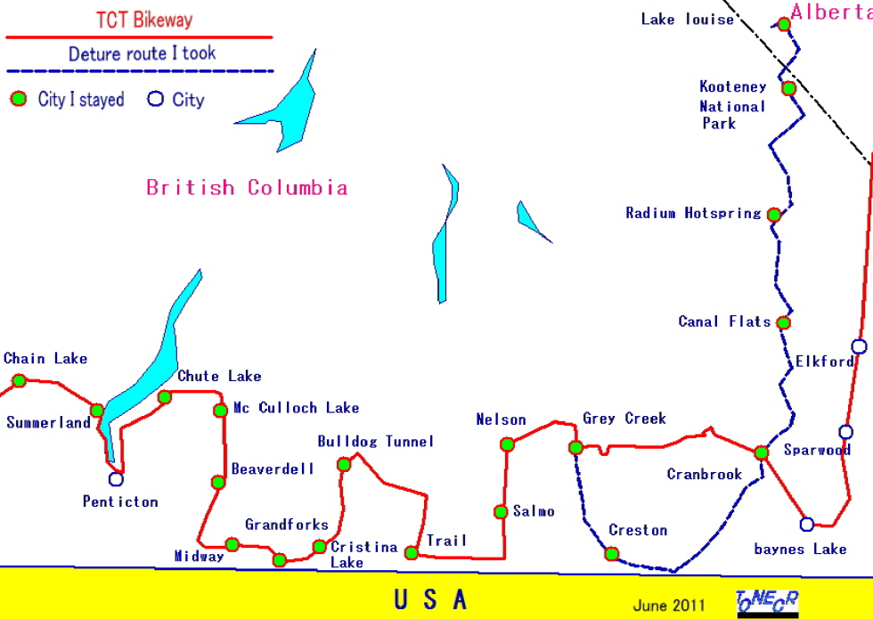 |
||
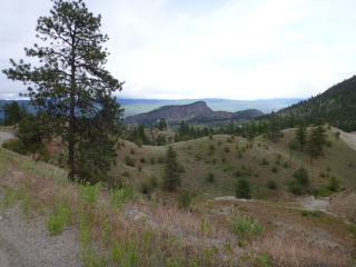
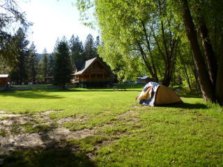
Faulder: 50km from Chain Lake |
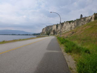
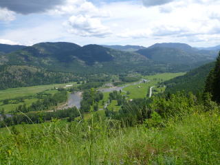
Summerland: 12Km to Summerland. View of th city. |
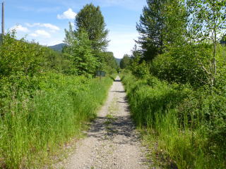
Summerland: Enter the TCT ahead. |
 |
 |
 |
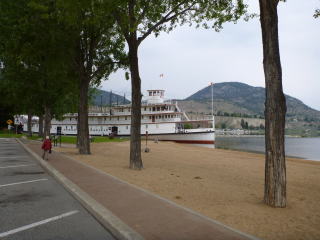
Penticton: Street on the shore of the lake. |
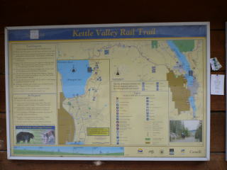
Penticton: There are guide maps of TCT route here and there. Map slope, and dangerous animals are shown. |
Poplar Grave: About 20km from Summerland |
 |
 |
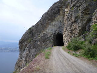 |
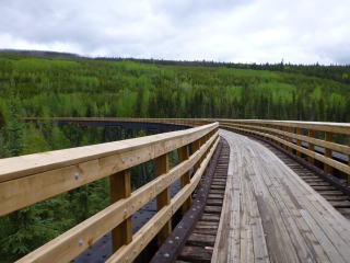
Myra Canyon: About 15km from Chute Lake |
About 10km from McCulloch Lake |
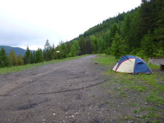
Beaverdell: Campground |
 |
 |
 |
Around Westbridge: about 35km from Beaverdell |
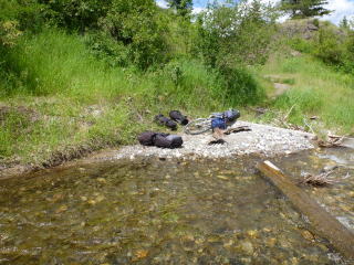
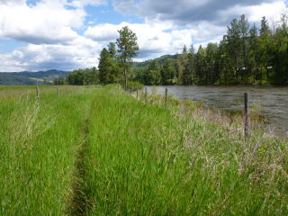
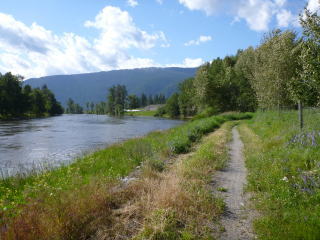
About 40km from Beaverdell: Cross a river |
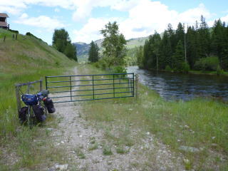
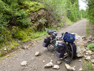
About 45km from Beaverdell: On the way there are many stock farms. On each farm, we have to open and close a gate. |
 |
 |
 |
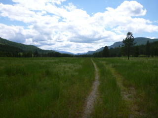
About 55km from Beaverdell: We must go through a deep grassy plane |
About 40km from Midway |
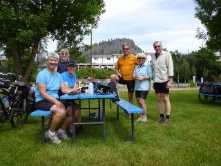
Grand Forks: A cycling group of aiming at going through whole TCT route of Buritish Colombia. |
 |
 |
 |
Grand Forks: The suburbs of the city |
Christina Lake: The suburbs of the city |
About 40km from Christina Lake |
 |
 |
 |
Bulldog Tunnel Campground: There are many bears. There is no maneger.There is only one toilet. |
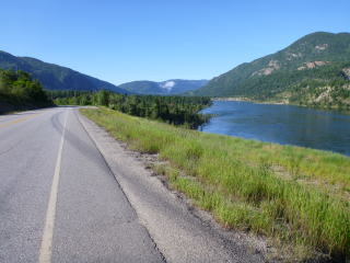
Arrow Lake: 9km from Bullog Tunnel |
Trail: Just out of the town. |
 |
 |
 |
Waneta: 13km from Trail TCT route on a site of switchback track. |
Ymir: 9km from Salmo |
Nelson: City area |
 |
 |
 |
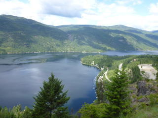
Kootenay Lake: 10km from Nelson |
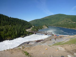
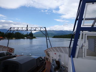
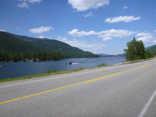
Balfour: 33km from Nelson: Cross a river by free ferry |
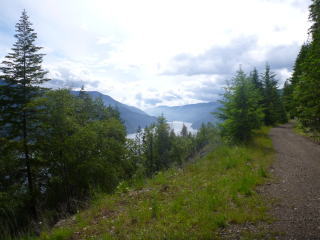
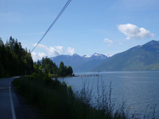
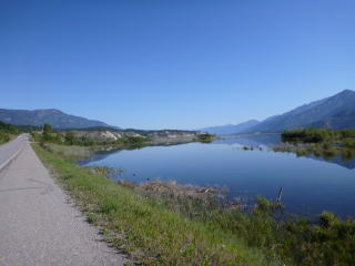
Kootenay Lake: 30km from Gray Creek I took a deture route, as TCT route is agravel road with extremily steep slope. |
 |
 |
 |
Moyie Lake: 75km from Creston |
100km from Creston |
55km from Cranbrook: I took a deture route, as there are big and ferocious bears on TCT route. |
 |
 |
 |
Columbia Lake: 5km from Canal Flats |
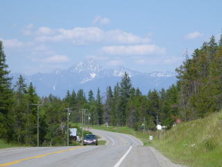
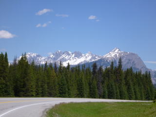
Radium Hotspring: From here there is an uphill slope of Rocky Mountain. |
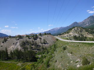
40km from Radium Hotspring |
 |
 |
 |
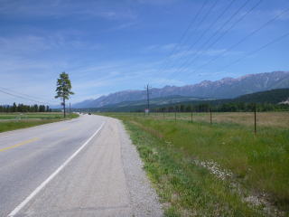
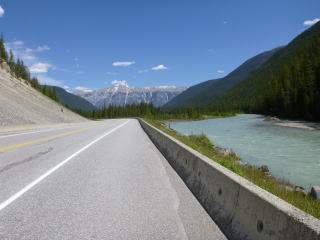
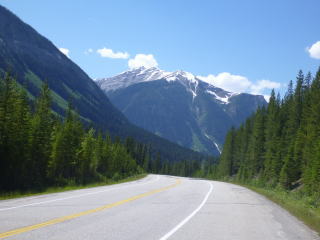
50km from Radium Hotspring |
80km from Radium Hotspring |
|
 |
 |
|
Map![]()