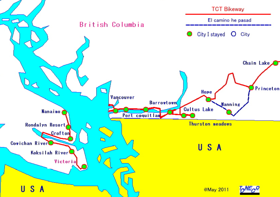
| Trans Canada Trail Bikeway1 | East |
|---|
| Trans Canada Trail Bikeway1 | East |
|---|
 |
||
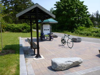
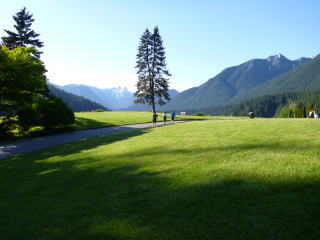
Victoria: Beacon Hill Park Start point of TCT route |
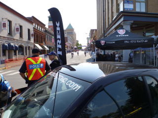
Victoria: A bicycle race was held in the city |
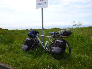
Victoria: Rest Station |
 |
 |
 |
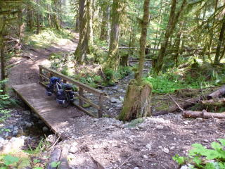
Koksilham River: A little up the stream from a park |
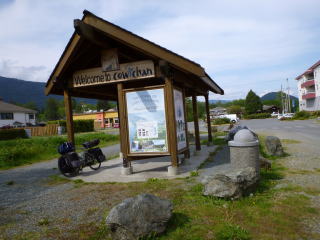
Lake Cowichan: The west end rest station of TCT route |
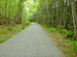
Cowichan River: Bikeway on the left bank |
 |
 |
 |
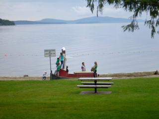
Trans Beach Park: About 20km from Crofton |
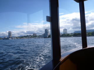
Nanaimo: In a boat to Newcastle Island |
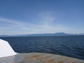
Nanaimo: In a ferry from Vancouver Island to Vancouver |
 |
 |
 |
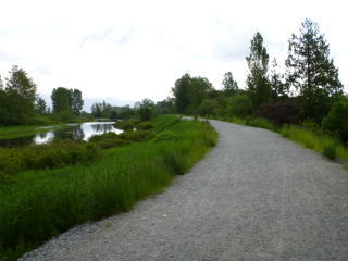
North Vancouver: Copilano River Park |
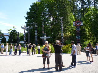
Vancouver: Stanley Park |
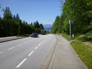
Burnaby: 60km from West Vancouver |
 |
 |
 |
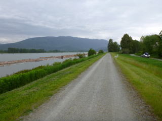
Port Coquitlam:Pitt River: Bikeway on the right bank |
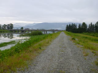
Alouette River: 15km from Port Coquitlam |
Barrowtown: The route goes a flood line under the route 1. But it was cloased by melted water. |
 |
 |
 |
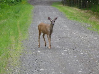
Around Cultus Lake: There are many deers. |
Around Thurston Meadows: The road was closed by snow ahead. Return and go to Hope on the second TCT route. |
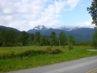
Around Sunshine Valley: About 30km from Hope. TCT route was closed by snow. |
 |
 |
 |
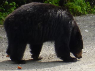
Before Allison Pass: Encountered a bear. |
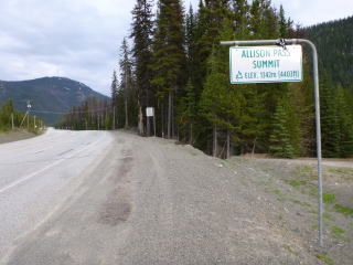
Allison Pass: 55km from Hope |
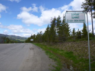
Sunday Pass: 35km from Manning |
 |
 |
 |
Princeton: 4km from Princeton |
Princeton: 25km from Princeton |
|
 |
 |
|
Map![]()